ECD Logo Flat - Transparent
$0.00 0

Cart

No products in the cart.

Ag Tech Services

Advanced Ag Tech & Drone Solutions

Unlock the power of drones for mapping, spraying, seeding, and farm productivity improvements.
Precision agriculture — also known as digital agriculture or precision farming — uses advanced technology to help farmers and graziers run more efficient, profitable, and environmentally responsible operations. By combining control systems, sensors, robotics, GPS, satellite imagery, and drones, digital agriculture empowers land managers to make smarter decisions, automate key processes, and reduce losses.

Smarter Farm Management

Gather real-time data to optimise resources, improve efficiency, and reduce environmental footprint.

Advanced Technology

Leverage drones, automation, and sensor networks to streamline daily operations.

Real-Time Alerts

Receive instant updates to help coordinate crops and livestock management with confidence.

Knowledge is Power

Access critical insights to plan better, stay informed, and maximise ROI.

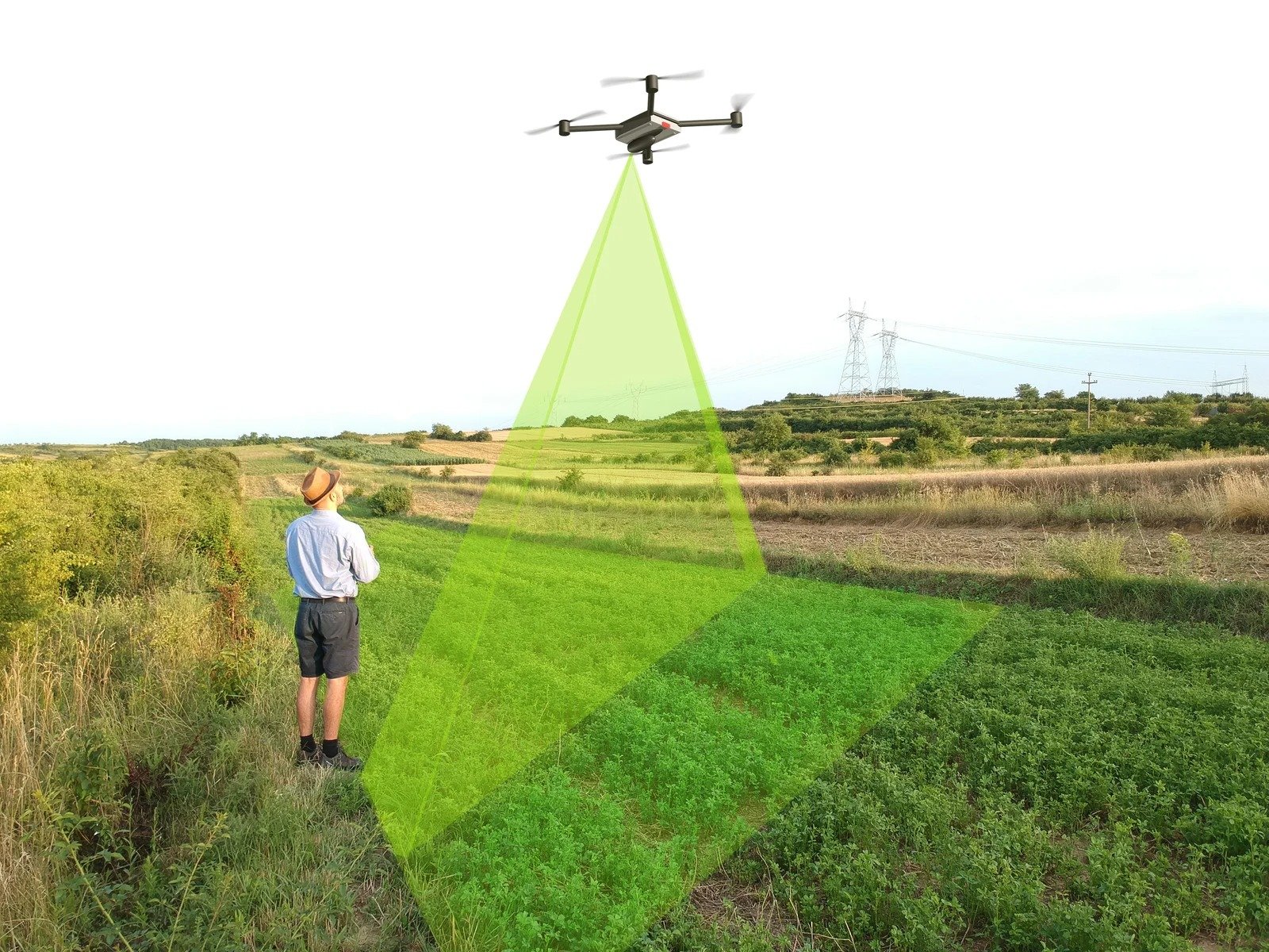
Dealing with crops and livestock always comes with challenges, but precision agriculture provides the tools and information farmers need to stay ahead. Recognised as the third great revolution of modern agriculture, digital agriculture delivers peace of mind, better planning, and measurable improvements in farm productivity.

Our Range ofAg Tech Services

Glenrock Gallary Photo shoot ECD 2025 (78)

DJI Drone Sales

Access the latest drones and parts fast:

  • Mavic & Enterprise models in stock
  • Full DJI range available to order within days
  • Spare parts and accessories for rapid replacement
  • Expert advice to match drones with your needs
T50

Weed Control

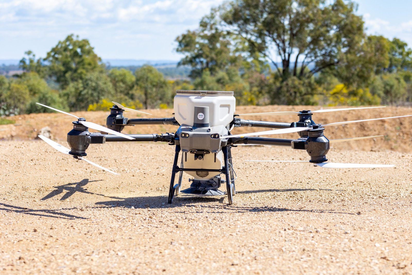
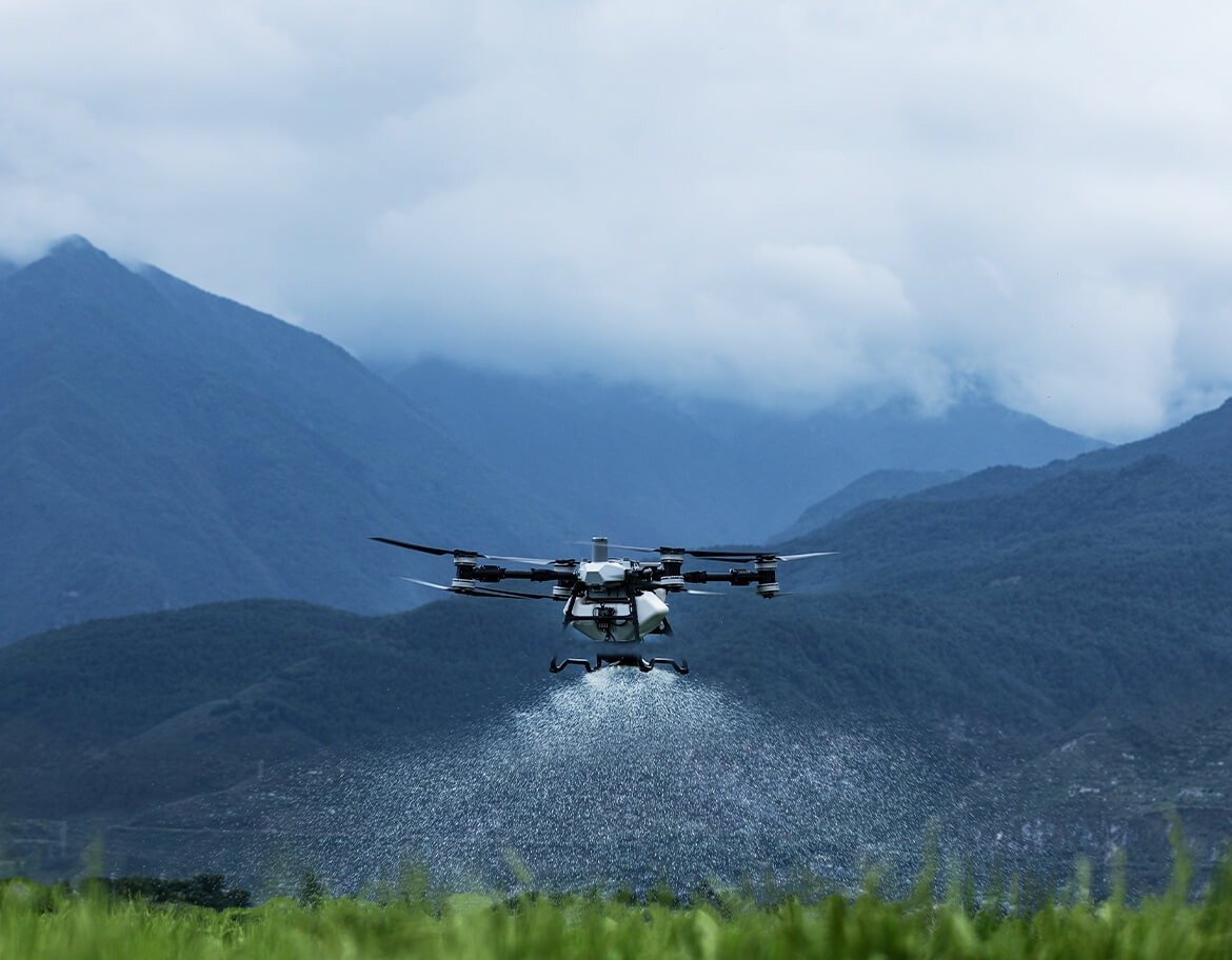
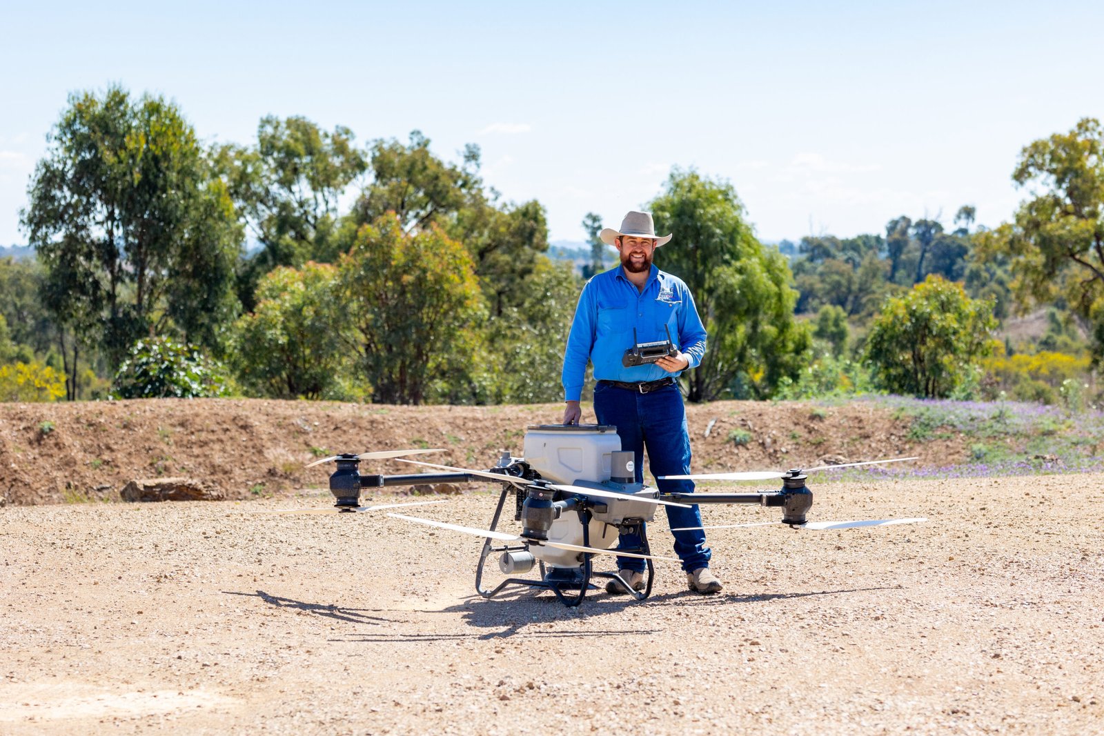
Target noxious weeds with safe, precise drone spraying:

  • Blackberry
  • Giant rat’s tail grass
  • Parkinsonia
  • Parthenium
  • Paddock spray-outs for planting
t100 spreading

Planting Seeds

Efficient aerial seeding with drones, including:

  • Progardes legume
  • Seca stylo
  • Silk sorghum
  • Most common grass types
pest control photo 1

Pest Control

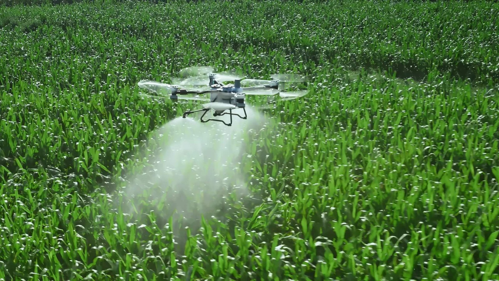
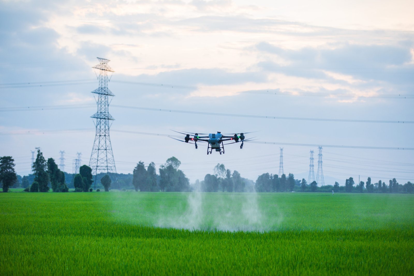
Targeted pest management delivered from the air:

  • Rat & mouse baiting on crops
  • Feral pig, deer, and dog control
  • Thermal imaging support for night operations
  • Safe, efficient coverage of large or difficult terrain
drone agriculture infrared inspection of crops

3D Mapping & Modelling

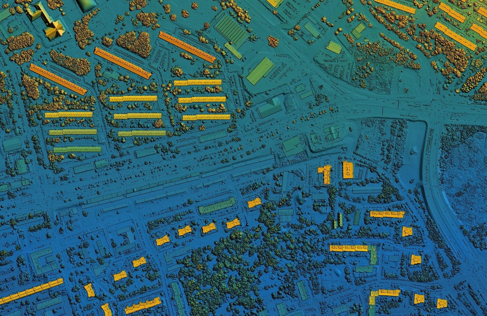
High-accuracy 3D data for planning and works:

  • Stockpile volume calculations
  • Contour mapping (±10 mm)
  • Power line & tower inspections
  • Interactive 3D site models (yards, sheds, new infrastructure)
  • Data transfer to graders/dozers for fencing, pipe laying, earthworks
Map of urban city area with coloured geospatial data for GIS usage

Maps & HD Imagery

Up-to-date mapping for analysis and field use:

  • High-definition printable maps
  • Areas of interest for new works
  • Captured via drones and satellite imagery
  • Detailed planning insights for property and infrastructure projects
Media & Photography

Stock Work

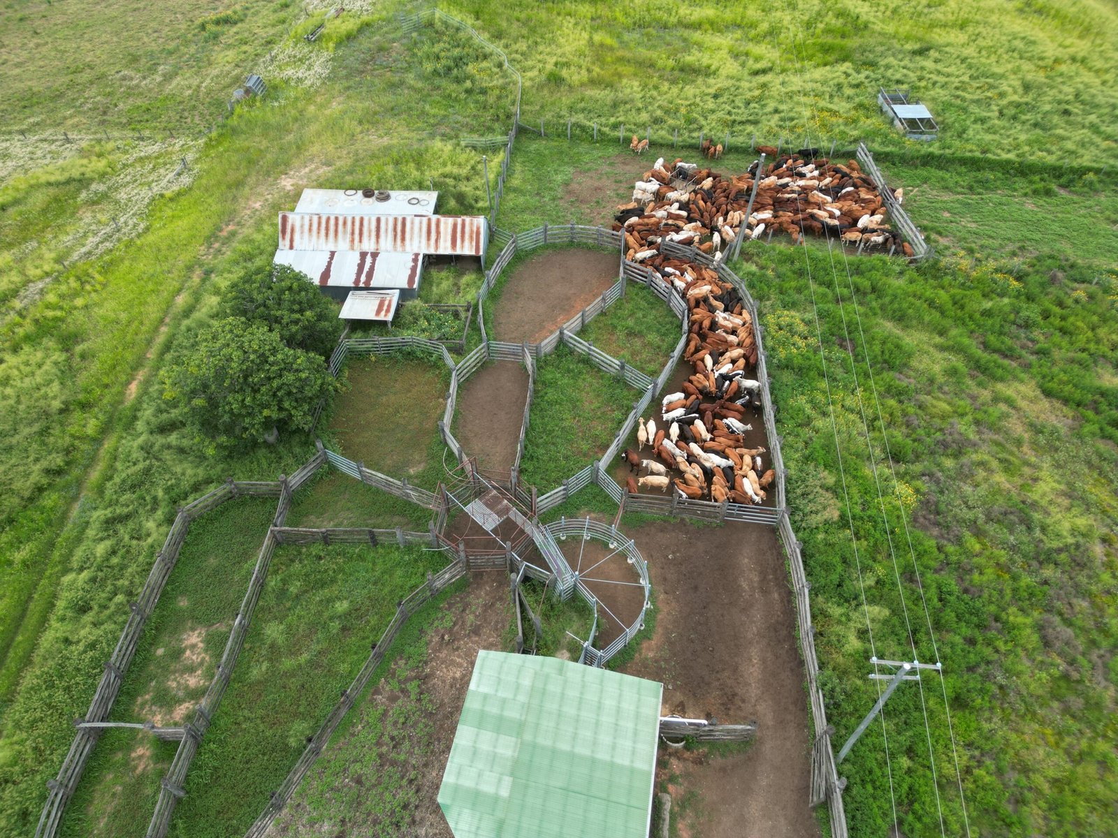
Safer, faster stock management with UAV support:

  • Mustering livestock across large or difficult terrain
  • Monitor stock movement and behaviour remotely
  • Check water points, troughs, and tanks while mustering
  • Reduce fuel and vehicle maintenance costs
Glenrock Gallary Photo shoot ECD 2025 (86)

ECD Consulting

Practical advice and custom solutions:

  • Tailored technology recommendations
  • Knowledge sharing for unique applications
  • On-site consultation to scope your requirements
  • Support with planning, compliance, and integration